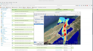
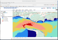
Tekmap Consulting provides a full range of Geospatial Web Mapping services. These services range from data preparation, optimization, server management, and Web Map development.
Data
As a GIS company, Tekmap Consulting can format and optimize any geospatial data for a web mapping service. This includes:
- Data re-projection.
- Data fusion.
- GeoTiff tiling and overview image creation.
- Vector shapefile optimization.
- PostGIS table and index optimization.
- Data styling.
Data Server
 Tekmap Consulting can setup, manage, and administer a geospatial data server. Tekmap uses the Open Source package Geoserver. Geoserver is a Java based data server that conforms to open standards as set out by the Open Geospatial Consortium (OGC). Web mapping services provided by Geoserver include:
- Web Map Service (WMS).
- Web Feature Service (WFS).
- Web Processing Service (WPS).
- Catalog Service for the Web (CSW).
- Web Coverage Service (WCS).
Time and elevation indexed data is fully supported.
Tekmap Consulting can build custom Web Application Archive (WAR) files for deployment in the Apache Tomcat server environment.
Web Map
Tekmap Consulting offers a full range Web Mapping development services. This includes everything from a simple embedded location map, to full featured Web GIS. Tekmap uses a number of Open Source Web Mapping packages including:

