

 Tekmap Consting provides a wide variety of custom mapping solutions. Our mapping solutions include everything from simple contour maps to sparse data interpolations, to detailed 3-D visualization. Tekmap Consulting also provides a full range of Geospatial Web Mapping services.
 The Open Source software used by Tekmap Consulting combined with our software development service allows us to offer unique mapping solutions that are tailored to the needs of our clients.
Examples of our custom mapping solutions include:
- Sparse data interpolation of marine habitat data to produce a custom color map and contours.
- Ocean sensor data mapping and visualization.
- Ice scour tracking, analysis, and visualization.
- Bathymetric data mapping and visualization of historic sea level curves and flood predictions.
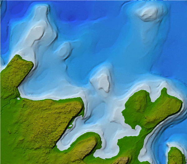
- Custom digital elevation models (DEM) from multiple data sources of varying resolutions.
- Temporal data analysis, mapping, and visualization.
For examples of our custom mapping products, please visit our Image and Movie Galleries.
For more information about our Custom Mapping Services, please contact us.