
 Tekmap Consulting specializes in processing and mapping multibeam data. We offer over 20 years of experience with multibeam bathymetry and backscatter processing.
We support a wide variety of data formats, including those listed below. Also, Tekmap develops programs for "custom" data formats. So, if you have a data format not listed below, please contact us.
| Supported Multibeam Systems | |
|---|---|
| Simrad | ELAC |
| Reson | Sea Scan |
| Hydrosweep | Furuno |
| Sea Beam | HyPack |
| Generic Sensor Format (GSF) | Extended Triton Format (XTF) |
| UNB OMG HDCS | Imagenex |
| Odom | |
Tekmap Consulting develops mapping solutions tailored to your needs!
Multibeam Processing Services

 At Tekmap, we offer a full range of multibeam processing services. This includes processing the raw survey data, map production, and custom map products, including 3-D visualization.
Our multibeam data cleaning and editing services include:
- Navigation cleaning and editing.
- Backscatter beam angle corrections.
- Tidal and altitude corrections.
- Attitude (roll, pitch, and heave) corrections.
- Automatic filtering and manual editing.
- Custom corrections to rescue problem data.
Final Products
Our multibeam data map products are described below.
| Product | Description |
|---|---|
| High resolution maps | Provide gridded bathymetric, backscatter, and sidescan (seabed) maps. |
| Vector data | Provide navigation as a vector file with survey associated metadata. |
| Data fusion | Combine two or more data sets (for example draping sidescan over bathymetry). |
| Bathymetric cross-sections | Provide on a single straight line or along a user defined path (for example mapping a pipeline route). |
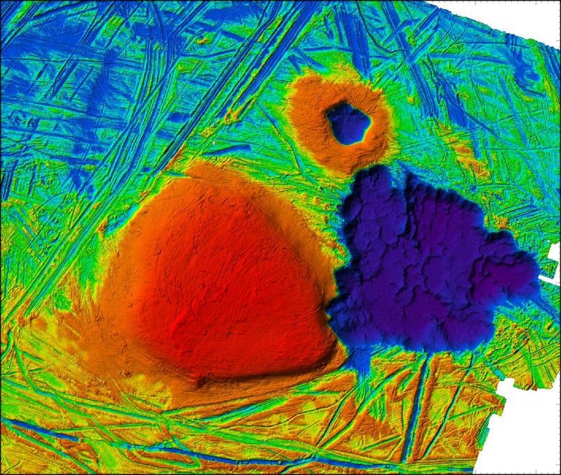
| Sun illuminated bathymetry | Produce a conventional grey scale map by illuminating bathymetry from a user defined sun azimuth, altitude, and vertical exaggeration. |
| Custom color tables | Use standard and custom color tables designed to enhance specific features or targets. |
| 3-D visualization | Provide custom 3-D views, overlays with optional cutting planes. |
| 3-D Fly Through's | Provide high resolution fly-through animations from processed data. |
| Statistical analysis | Do simple statistic extraction from data such as histograms, to more complex spatial analysis. |
| Multiple GIS Support | Provide output GIS products in a wide variety of raster and vector formats. |
| Final map production | Provide digital and hard-copy output of processed data. |
To obtain an estimate or for more information on our Multibeam Processing Services, please contact us.
For examples of output products, please visit the Image Gallery and Movie Gallery.