Deep Caves
Tekmap Consulting is a co-author of an article published in the November, 2011 (Volume 677, No. 1) issue of Hydrobiologica. The article, entitled Search for Bermuda's deep water caves, is about the search for wave generated caves formed during periods of low stand sea level around the Bermuda Platform. The paleo-shorelines from low stand sea-level occur at depths ranging from 60 to 200 m around the Bermuda seamount and Challenger Bank.
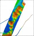
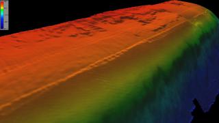
The search for the deep caves started in 2009 with a multibeam survey carried out by the Seafloor Mapping Lab at California State University, Monteray Bay. The survey area covered the shelf break edge (60 to 200 m) of the Bermuda Platform. In 2011, a series of deep dives were carried out on potential caves in the survey area.
The NOAA Ocean Explorer page provides more information on the 2011 dives. A movie trailer for the Deep Caves Dives can be found on YouTube.
Past Work
 Tekmap's work in Bermuda began in 2003 as part of the Bermuda Sea Level Project carried out with the Bermuda Underwater Exploration Institute and the Geological Survey of Canada.
  This work involved using the SHLS to map selected areas around Bermuda.
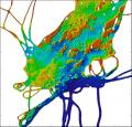
The areas include a submerged cedar forest and peat bog. Samples from the cedar and peat were dated to provide an indication of past shorelines (i.e. cedar trees have to grow above the high water line). This work is featured in the movie Oceans in Motion produced by the New England Aquarium and the Bermuda Underwater Exploration Institute.

